New directions at Jumping Rock
Sunday, 1 August 2010
The 2010 NSW MTBO Championships will be run on a new map called Jumping Rock. This map comprises two private properties, plus the eastern and northern portion of Penrose State Forest.
An added bonus is that one of the properties, "Kirrikee", is the Outdoor Education Facility for St Andrews Cathedral School - and so the event centre will be located here, with camping and some bunkhouse accommodation, along with toilets and limited shower facilities available to us.
You can expect some significant new challenges on this map - including:
- great panoramic views of the district
- large areas of rough open land that will be rideable
- fences that will be designated as uncrossable
- gates that will need to be opened and shut behind you
- rough vehicular tracks
- singletrack
- cattle and other animal tracks along fencelines and through areas of bush
- creek crossings
- and of course the forest roads and firetrails of Penrose State Forest
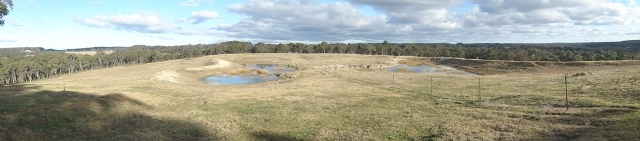
View over dams on "Jumping Rock" toward "Kirrikee"
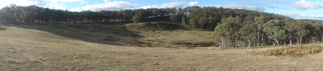
View into gully at "Jumping Rock", with fringing areas of bush
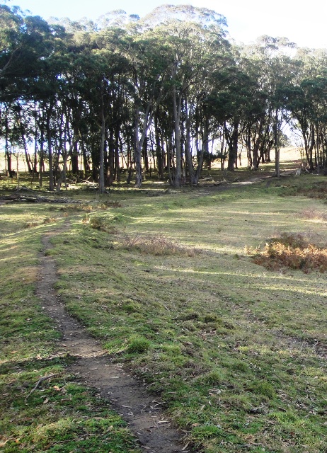
View along cattle track toward rough vehicular track on "Jumping Rock"
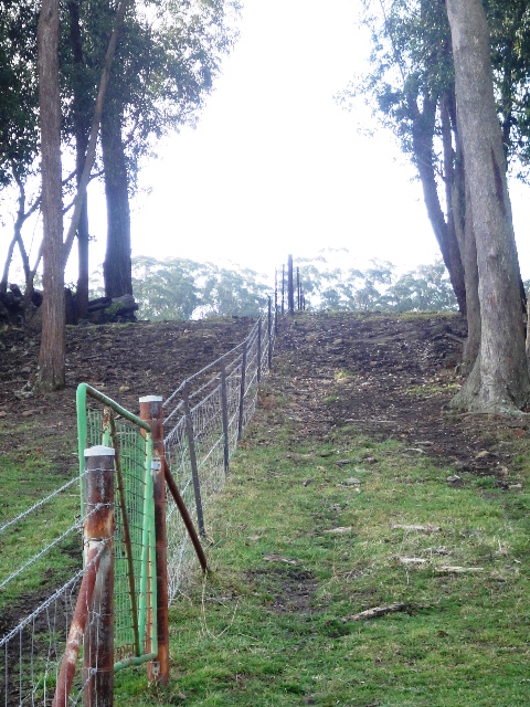
Fence (uncrossable) and gate (open and close) on "Jumping Rock"
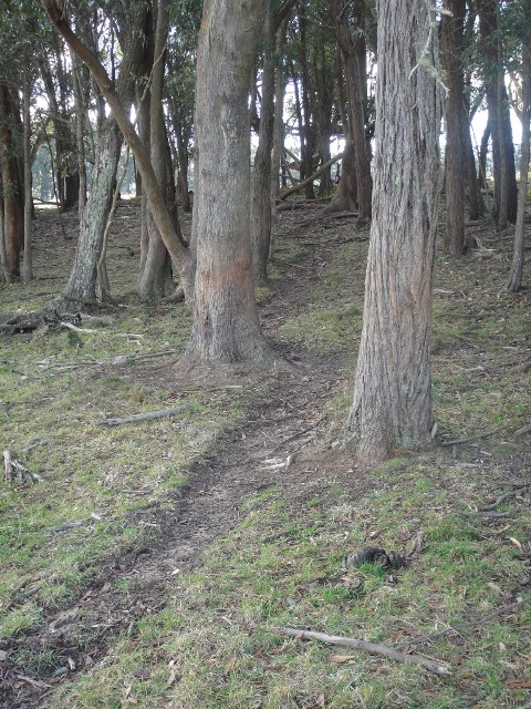
Cattle track through native bush (mapped as singletrack) on "Jumping Rock"
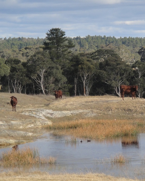
Moveable obstacles which will not be mapped - but must be avoided!
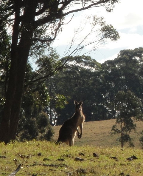
More moveable obstacles which will not be mapped - and which will no doubt avoid you!
|